


24 km | 32 km-effort


User


FREE GPS app for hiking
 SityTrail
IGN / Geographical institutes
SityTrail World
The world is yours!
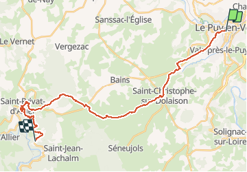
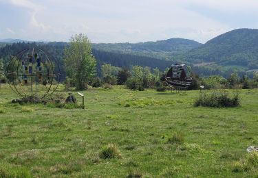
Trail Walking of 31 km to be discovered at Auvergne-Rhône-Alpes, Haute-Loire, Le Puy-en-Velay. This trail is proposed by prv.
St Jacques de Compostelle Via Podiensis


Walking

Walking

Walking
Walking
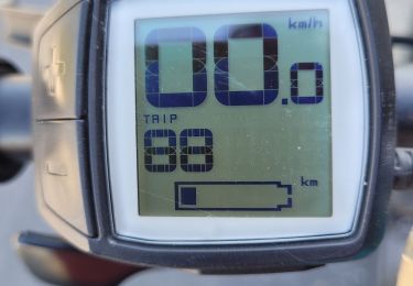
Electric bike

Electric bike
Electric bike
Electric bike
Electric bike
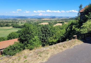
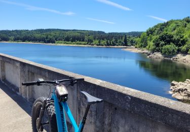
Première étape du chemin de Saint Jacques. Bonne miser en jambe. paysage et villages superbes